Otto Zimmermann · 12 September 2026
Solmira Farmers Integrate University Climate Models with Age-Old Practices to Address Drought Challenges
Local agricultural communities across the Solmira region have adopted a hybrid approach that merges detailed climate projections from regional universities with established farming techniques developed over generations, and this integration has produced measurable shifts in water management strategies during extended dry periods. Data collected through university monitoring stations provides forecasts on rainfall variability and soil moisture trends while farmers apply methods such as contour plowing and crop rotation patterns that have sustained yields in arid conditions for decades.
University Data Sources and Their Role
Academic institutions supply granular datasets that track temperature anomalies, evapotranspiration rates, and precipitation probabilities across multiple growing seasons, and these figures allow precise timing for planting and irrigation adjustments. Observers note that when farmers align sowing schedules with the university's drought probability models, water usage drops by documented margins according to field reports compiled in late 2025. The models draw from satellite observations and ground sensors positioned throughout the Solmira valley, creating layered information that complements rather than replaces existing knowledge of local microclimates.
Traditional Methods Retained and Adapted
Communities continue to rely on techniques including the construction of small earthen check dams, selective use of drought-resistant seed varieties passed down through family lines, and communal water-sharing agreements that rotate access during scarcity. These practices have persisted because they match the terrain and seasonal rhythms of the area, while the addition of climate modeling refines their application rather than displacing them entirely. One study revealed that combining check dam placement with university-derived soil moisture forecasts extended the effectiveness of stored water by several weeks compared with earlier standalone use.
Implementation Timeline and Recent Developments
Coordinated efforts began scaling in early 2025 when university extension teams started sharing simplified data dashboards with cooperative farming groups, and by September 2026 the program had expanded to cover additional hectares under active monitoring. Participants report that real-time alerts about upcoming dry spells now trigger earlier activation of traditional water conservation steps, such as deeper mulching and adjusted livestock grazing rotations. Evidence suggests this timing has reduced crop stress indicators in monitored plots, although outcomes vary with soil type and elevation.
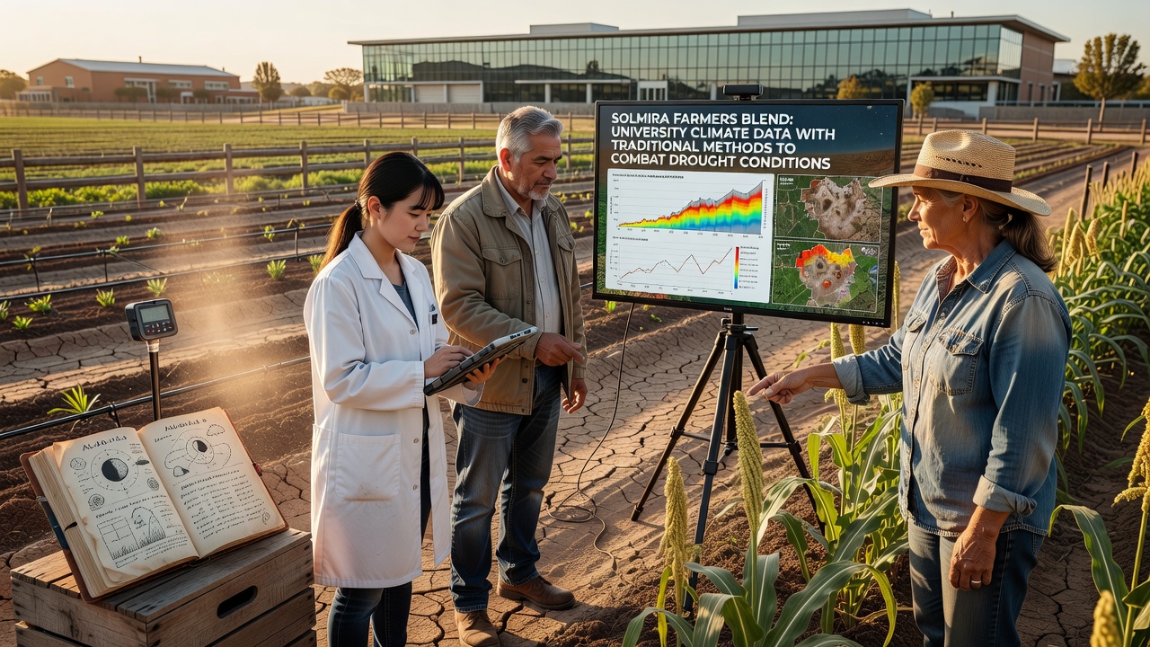
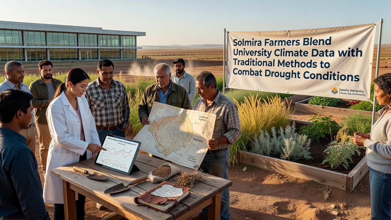
What's interesting is how the two knowledge systems interact during decision-making meetings held at the start of each season. University representatives present probability maps while experienced farmers overlay their observations of plant behavior and wind patterns, resulting in adjusted plans that neither group would have generated independently. Data shows that fields using this combined planning maintained higher biomass levels through the driest months of 2026 than comparable areas relying on single-method approaches.
Measured Outcomes Across the Region
Records from participating farms indicate average reductions in supplemental irrigation needs during the most recent drought cycle, with some plots achieving savings of up to fifteen percent while holding yields steady. Researchers discovered that the hybrid method also lowered soil erosion rates on sloped land because traditional contour techniques received updated guidance from erosion-risk modeling supplied by the university. Australian Bureau of Meteorology reports on comparable dryland strategies highlight similar patterns observed in other semi-arid zones, reinforcing the value of layered information sources.
Further evidence comes from soil sampling programs that track organic matter retention and nutrient cycling under the integrated regime, and these samples continue to show stability even after consecutive low-rainfall periods. The European Drought Observatory has documented parallel successes when local practices receive support from predictive analytics in Mediterranean agricultural zones, offering additional context for Solmira's results.
Conclusion
The Solmira experience demonstrates how climate datasets and longstanding agricultural customs can operate together without one system overriding the other. Ongoing collection of yield, water, and soil metrics will determine whether these gains persist through future seasons, yet current figures already illustrate concrete adjustments in daily farm operations driven by the blended framework.